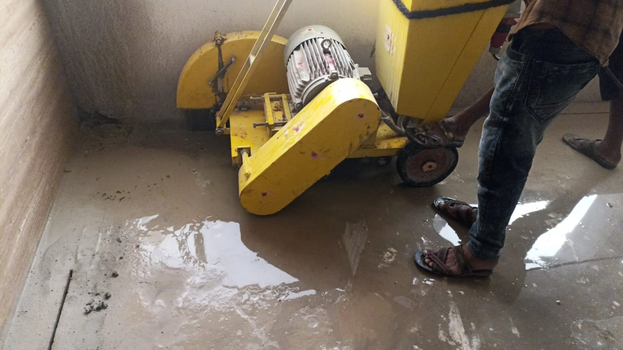
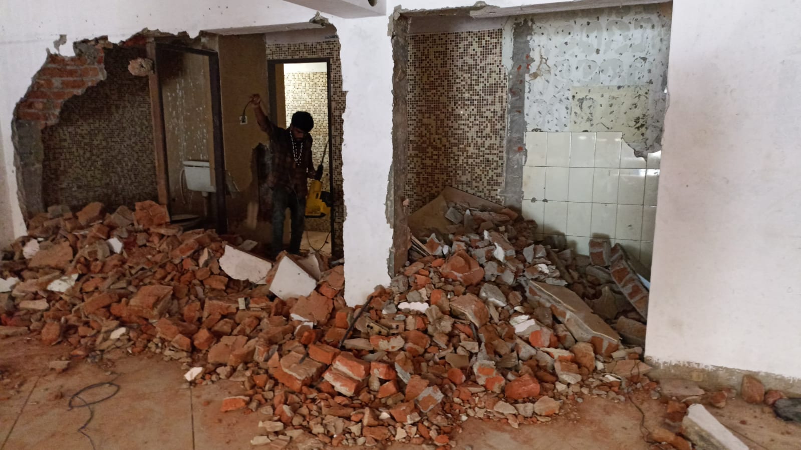
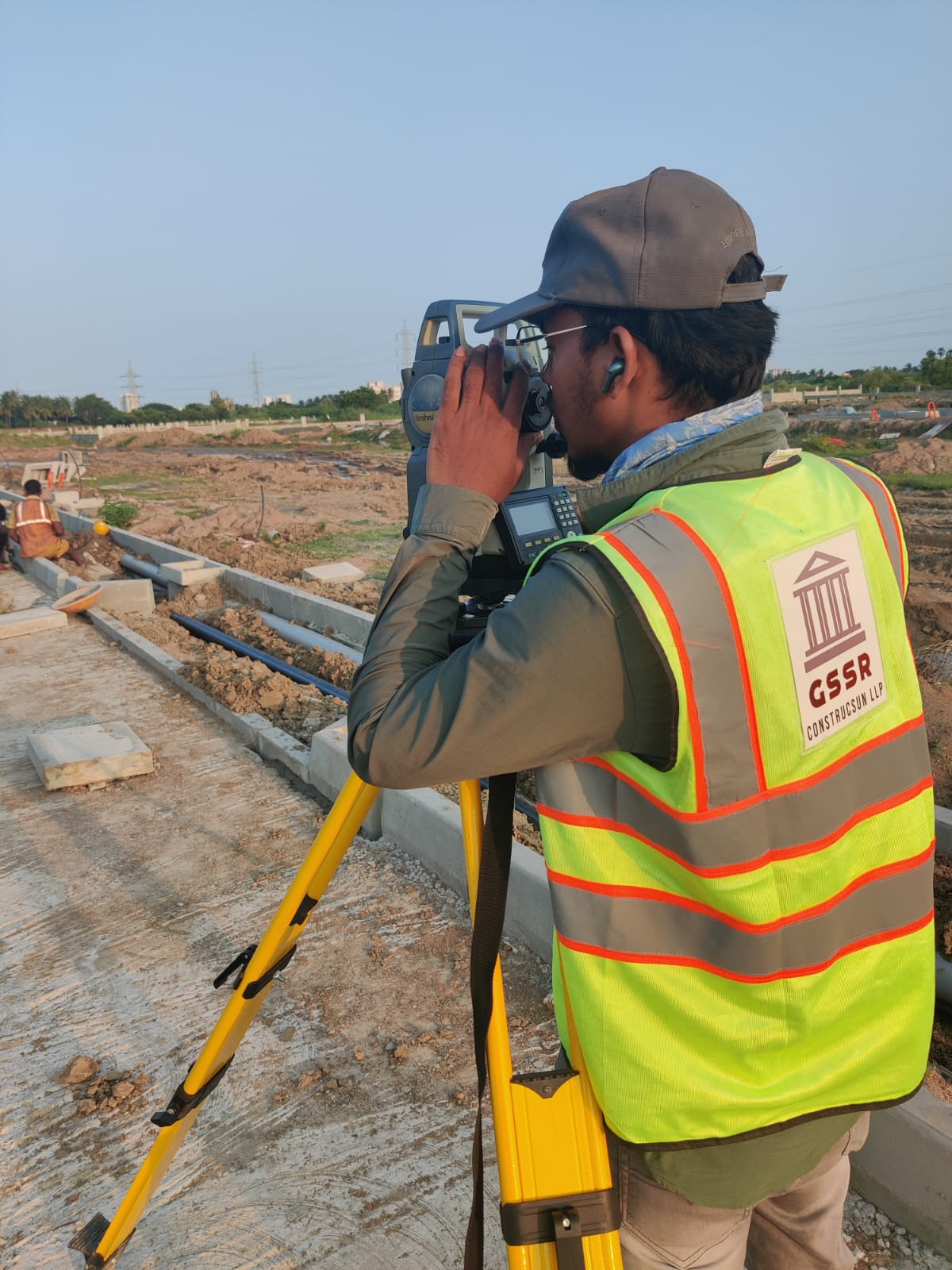
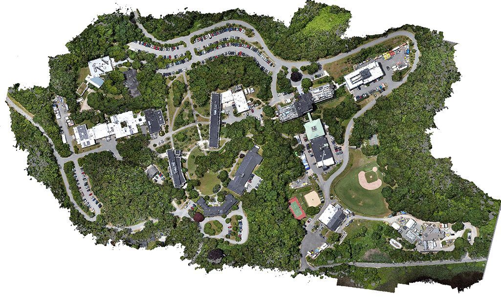
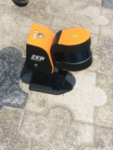
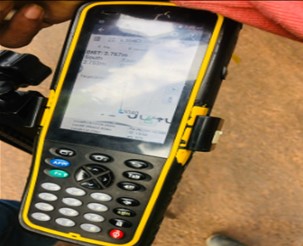
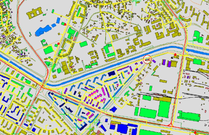
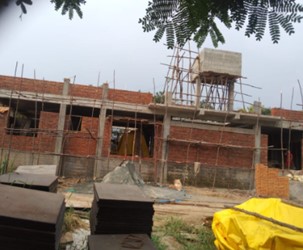
Deccon Engineers

Services

Demolition refers to the process of safely and systematically dismantling a structure using heavy machinery, explosives, or manual labor to make way for new construction or to remove hazardous structures.Demolition refers to the process of tearing down or destroying a structure, building, or any other man-made object. It is typically carried out to make way for new construction, to remove unsafe or dilapidated structures, or as part of urban renewal projects. Demolition can be accomplished using various methods, depending on the size and type of the structure to be demolished, as well as safety and environmental considerations.

Types of Demolition

  • Full building demolition 

  • Slab core cutting  demolition

  • Full structure Machine demolition

  • Concrete core cutting demolition

  • Steel structure demolition

1. LAND SURVEYING

Land surveying is the process of determining the precise location and measurement of land, including its boundaries, contours, and other physical features. This is typically done to create maps, define property boundaries, and to aid in construction and development projects. Surveyors use a variety of tools and techniques to gather data about the land, including GPS, laser scanning, and traditional instruments like theodolites and total stations. This data is then used to create accurate maps and plans, which can be used by engineers, architects, and other professionals to design and build structures on the land.

2. GIS MAPPING

GIS mapping services typically involve the collection of data from various sources, such as satellites, aerial imagery, and ground surveys, and the integration of this data into a single database. The data can then be analyzed using GIS software to generate maps, charts, and other visualizations that can be used to inform decision-making processes in a variety of fields, including urban planning, natural resource management, emergency response, and public health.GIS deals with the information about the earth and its features. The spatial and non-spatial data of the Earth’s surface are managed precisely with the GIS technology. GSSR has a dedicated GIS team who can handle all kinds of GIS projects with ease.

3. PHOTO GRAMMENTRY

Photogrammetry deals with acquiring imageries of the Earth’s surface and carrying out analysis with the data. Our team expertise in feature extraction, 3D modelling in the required LoD (Level of Detail) and reality capturing.

Photogrammetry is the science of obtaining reliable measurements and information about the physical properties of objects and their environment using photographs. This technique involves taking multiple overlapping images of an object or scene from different angles, and then processing these images to create a 3D model or map of the object or environment.

4. UAV / DRONE SURVEY

Unmanned Aerial Vehicles (UAVs), also known as drones, have become increasingly popular for surveying applications in various fields such as agriculture, construction, environmental monitoring, and land surveying. UAV surveys offer many advantages over traditional surveying methods, including faster data collection, increased accuracy, and reduced cost.

UAVs are equipped with sensors such as cameras, LiDAR, and GPS, which can capture high-resolution images, 3D models, and precise location data. This allows for efficient and accurate mapping of areas that may be difficult or dangerous to access by traditional methods.

UAV surveys can be used to gather information about a wide range of features and characteristics such as land topography, vegetation health, infrastructure condition, and water quality. The data collected by UAV surveys can be processed and analyzed using specialized software to generate detailed maps, models, and reports.

5. LIDAR SURVEY

LiDAR survey is a technology that uses laser pulse to hit the target and estimates the distance by the time of the returning pulse. We have a specialized LiDAR team who can handle data acquisition and also LiDAR data processing. We are sound in the data collection techniques using 3D laser scanner and MLS (Mobile LiDAR Scanner).

LiDAR (Light Detection and Ranging) is a technology that uses laser pulses to create detailed 3D maps of the environment. LiDAR data protection refers to the measures taken to safeguard the privacy and security of the data generated by LiDAR systems.


As LiDAR data contains information about the physical characteristics of the environment and the objects within it, it can be sensitive and valuable information. For example, it can reveal the layout of buildings, the location of critical infrastructure, or the movement of people and vehicles. As such, protecting LiDAR data from unauthorized access, use, or disclosure is essential

Lidar data collection

Lasers are emitted by lidar sensors, which then reflect off of the objects and return to the sensor. the sensor that calculates distance by measuring the amount of time it took for a light pulse to travel from the sensor to the surface.

 LiDAR (Light Detection and Ranging) is a remote sensing technology that uses laser pulses to measure distances and create highly accurate 3D representations of the Earth’s surface and objects. LiDAR data collection involves the use of specialized equipment to emit laser pulses and record the reflected signals.

Photogrammetry

Photogrammetry is a three-dimensional coordinate measuring technology that employs images as the primary medium for metrology or measurements, as the name suggests. Triangulation is the essential idea of photogrammetry.

Photogrammetry is a technique used to create accurate measurements, maps, and 3D models of objects or environments using photographs. It involves extracting geometric information from a series of overlapping images taken from different angles or positions. Photogrammetry is widely used in various fields, including surveying, mapping, architecture, engineering, archaeology, and entertainment.

Drone Survey

Drone surveying is an airborne survey that uses a drone and specialized cameras to collect data from the air with sensors pointed downward. For mapping and terrain evaluation in construction, surveyors and engineers regularly utilize it.Drone surveying, also known as aerial surveying or unmanned aerial vehicle (UAV) surveying, is a method of conducting surveys and data collection using drones equipped with specialized sensors and cameras. It offers numerous advantages over traditional surveying methods, provided

We deal with all kinds of foundation is done. Our expertise includes Right from single-floor structures to high-raised structures, commercial spaces, complexes, and more based on the requirement. We can help you with constructing all types of structures and foundations such as Villas. Construction refers to the process of creating or building structures, infrastructure, or facilities to serve various purposes. It involves assembling or fabricating components and materials in a systematic and organized manner to form a functional and complete project. Construction projects can range from small-scale residential buildings to large-scale commercial complexes, bridges, roads, dams

  • FARM HOUSES  

  • RESIDENTIAL BUILDINGS  

  • DUPLEXES HOUSE  

  • APARTMENTS

  • COMMERCIAL COMPLEX

  • SHOPS

  • RETAIL STORES

  • HOTELS

  • HOSPITALS

  • FACTORIES

  • WAREHOUSE